
Mynd:USA Rhode Island location map.svg

Size of this PNG preview of this SVG file: 445 × 599 pixels. Aðrar upploysnir: 178 × 240 pixels | 356 × 480 pixels | 570 × 768 pixels | 760 × 1.024 pixels | 1.520 × 2.048 pixels | 758 × 1.021 pixels.
Upprunafíla (SVG fíle, nominelt 758 × 1.021 pixel, fíle stødd: 91 KB)
Samandráttur
| Frágreiðing |
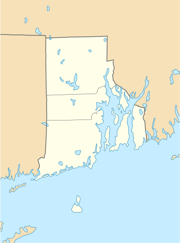
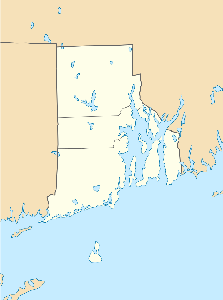
Quadratische Plattkarte, N-S-Streckung 135 %. Geographische Begrenzung der Karte:
Equirectangular projection, N/S stretching 135 %. Geographic limits of the map:
|
| Dagur | 11 juni 2009 (upload date) |
| Kelda |
own work, using
|
| Høvundur | NordNordWest |
| Other versions |
Derivative works of this file: |

|
This map has been made or improved in the German Kartenwerkstatt (Map Lab). You can propose maps to improve as well.
|
Lisensur
I, the copyright holder of this work, hereby publish it under the following licenses:

|
Loyvi verður givi at avrita, bera út og/ella broyta hetta skjal undir treytunum hjá GNU Free Documentation License, versión 1.2 ella einhvør seinni versjón ið er útgivin av Free Software Foundation; uttan nakað óbroytiligt brot, uttan forsíðutekst og uttan baksíðutekst. Eitt avrit av loyvinum er tikið við í brotinum ið nevnist GNU Free Documentation License. |
This file is licensed under the Creative Commons Attribution 3.0 Unported license.
- Tú ert vælkomin til:
- at deila – at avrita, breiða út og senda verkið
- at remiksa – at tillaga ella broyta verkið
- Undir hesum treytum:
- ognan – Tú mást ognarskrivað verkið á ein slíkan hátt sum er útgreinaður av høvundanum ella lisenseigaranum (men ikki á nakran hátt ið kundi bent á at hesin hevur góðkent teg ella tína nýtslu av verkinum).
Tú kanst velja tann lisens ið tú ynskir.
Søgan hjá fíluni
Trýst á dato/tíð fyri at síggja fíluna, sum hon sá út tá.
| Dagur/Tíð | Lítil mynd | Dimensjónir | Brúkari | Viðmerking | |
|---|---|---|---|---|---|
| streymur | 11. jun 2009 kl. 18:51 | | 758 × 1.021 (91 KB) | NordNordWest | {{Information |Description= {{de|Positionskarte von Rhode Island, USA}} Quadratische Plattkarte, N-S-Streckung 135 %. Geographische Begrenzung der Karte: * N: 42.2° N * S: 41.0° N * W: 72.1° W * O: 70.9° W {{en|Locatio |
Myndarslóðir
Hesar síður slóða til hesa mynd:
Alheims fílunýtsla
Aðrar wkiir brúka hesa fílu:
- Nýtsla á an.wikipedia.org
- Nýtsla á ar.wikipedia.org
- Nýtsla á azb.wikipedia.org
- Nýtsla á az.wikipedia.org
- Nýtsla á be-tarask.wikipedia.org
- Nýtsla á bg.wikipedia.org
- Nýtsla á bn.wikipedia.org
- টেমপ্লেট:অবস্থান মানচিত্র মার্কিন যুক্তরাষ্ট্রের রোড আইল্যান্ড
- ফস্টার-পেইন হাউস
- ১৭৬১ মাইলস্টোন
- পঞ্চম ওয়ার্ড ওয়ার্ডরুম
- ফায়ার স্টেশন নং ৪ (পটাকেট, রোডি আইল্যান্ড)
- ব্রাউন স্টেডিয়াম
- মডিউল:অবস্থান মানচিত্র/উপাত্ত/মার্কিন যুক্তরাষ্ট্র রোড আইল্যান্ড
- মডিউল:অবস্থান মানচিত্র/উপাত্ত/মার্কিন যুক্তরাষ্ট্র রোড আইল্যান্ড/নথি
- Nýtsla á ca.wikipedia.org
- Nýtsla á ceb.wikipedia.org
- Nýtsla á ce.wikipedia.org
- Nýtsla á cs.wikipedia.org
- Nýtsla á de.wikipedia.org
- Middletown (Rhode Island)
- Portsmouth (Rhode Island)
- Newport (Rhode Island)
- Providence
- Narragansett (Rhode Island)
- Charlestown (Rhode Island)
- Johnston (Rhode Island)
- Cranston (Rhode Island)
- Barrington (Rhode Island)
- Kingston (Rhode Island)
- Amica Mutual Pavilion
- Warwick (Rhode Island)
- Vorlage:Positionskarte USA Rhode Island
- Woonsocket (Rhode Island)
- Bradford (Rhode Island)
- Bristol (Rhode Island)
- Central Falls
- Coventry (Rhode Island)
- Cumberland (Rhode Island)
Vís meiri globala nýtslu av hesi fílu.