
Mynd:Contorno do mapa do Brasil.svg

Size of this PNG preview of this SVG file: 345 × 345 pixels. Aðrar upploysnir: 240 × 240 pixels | 480 × 480 pixels | 768 × 768 pixels | 1.024 × 1.024 pixels | 2.048 × 2.048 pixels.
Upprunafíla (SVG fíle, nominelt 345 × 345 pixel, fíle stødd: 8 KB)
Samandráttur
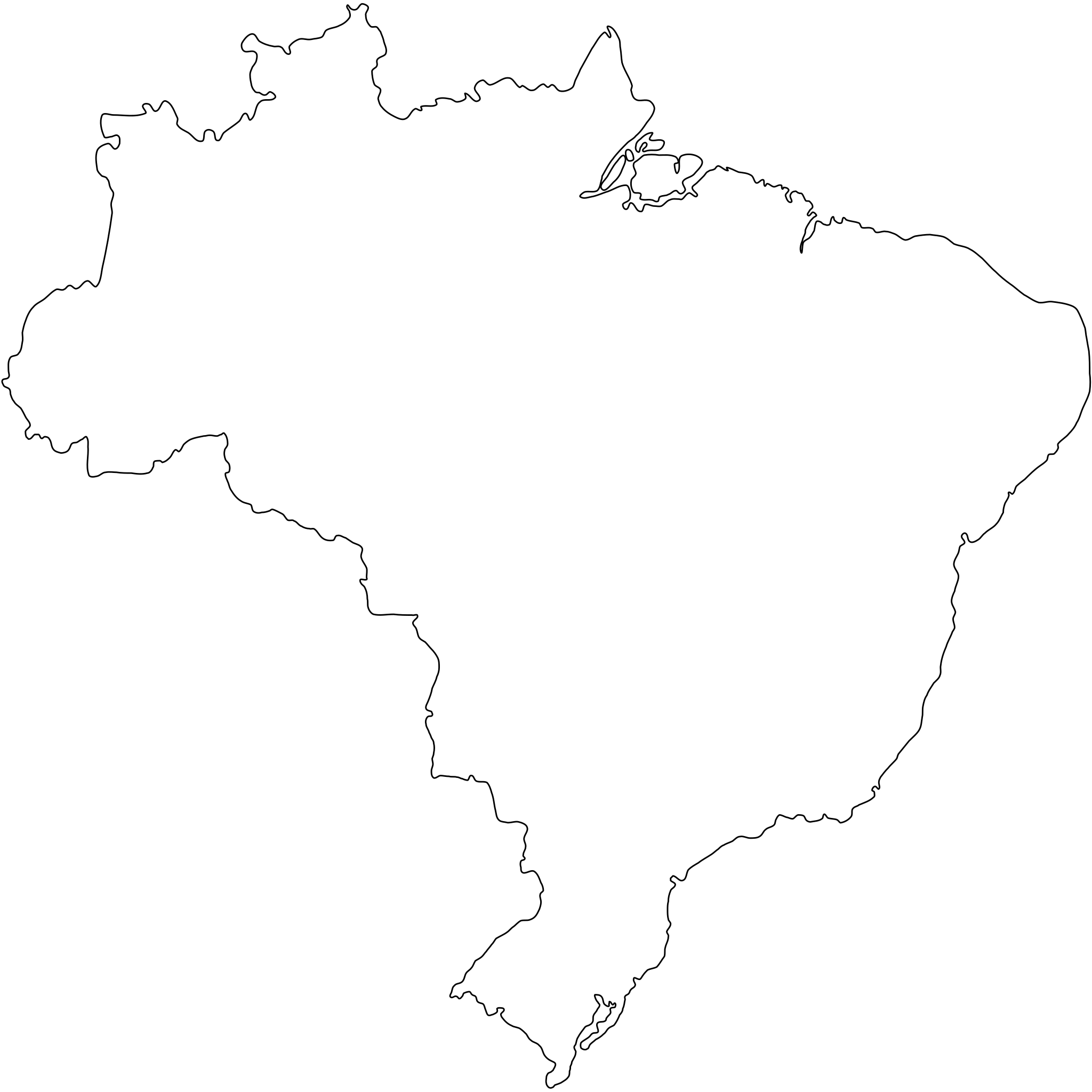
Português: Contorno do mapa do Brasil com detalhamento de nível médio e suavizado, não oficial e não exato porque foi desenhado por mim a olho nu. Inicialmente foi especialmente desenhado para a bandeira do Estado de São Paulo (ver Image:Bandeira do estado de São Paulo.svg).
A map drawn (maybe with CorelDRAW!® or Inkscape) by FML.
|

|
I, the copyright holder of this work, hereby publish it under the following license:
This file is licensed under the Creative Commons Attribution-Share Alike 2.5 Generic license.
- Tú ert vælkomin til:
- at deila – at avrita, breiða út og senda verkið
- at remiksa – at tillaga ella broyta verkið
- Undir hesum treytum:
- ognan – Tú mást ognarskrivað verkið á ein slíkan hátt sum er útgreinaður av høvundanum ella lisenseigaranum (men ikki á nakran hátt ið kundi bent á at hesin hevur góðkent teg ella tína nýtslu av verkinum).
- deil undir somu treytum – Um tú broytir, evnar til ella byggir víðari á hetta verk, so kanst tú bert útgeva verkið undir somu ella líkandi lisensi sum hesin.
Søgan hjá fíluni
Trýst á dato/tíð fyri at síggja fíluna, sum hon sá út tá.
| Dagur/Tíð | Lítil mynd | Dimensjónir | Brúkari | Viðmerking | |
|---|---|---|---|---|---|
| streymur | 18. sep 2011 kl. 18:30 | | 345 × 345 (8 KB) | Giro720 | Map concentric to an (imaginary) circle with r=755 centered at the origin. |
| 10. aug 2011 kl. 07:56 |  | 347 × 345 (8 KB) | OAlexander~commonswiki | Better optimisation, eliminated minor error on right edge. (Upped wrong version previously) | |
| 10. aug 2011 kl. 07:52 |  | 512 × 510 (20 KB) | OAlexander~commonswiki | Better optimisation, eliminated minor error on right edge. | |
| 10. aug 2011 kl. 07:48 |  | 512 × 510 (20 KB) | OAlexander~commonswiki | Repair (did not display in Firefox and Safari) and optimization. | |
| 20. feb 2006 kl. 11:26 |  | 526 × 524 (82 KB) | FML | ||
| 30. jan 2006 kl. 01:41 |  | 526 × 524 (82 KB) | FML | ||
| 30. jan 2006 kl. 01:33 |  | 526 × 524 (143 KB) | FML | {{pt|Contorno do mapa do Brasil com detalhamento de nível médio e suavizado, '''não oficial''' e '''não exato''' porque foi desenhado por mim a olho nu. Inicialmente foi especialmente desenhado para a bandeira do Estado de São Paulo (ver [ |
Myndarslóðir
Ongar síður slóða til hesa myndina.
Alheims fílunýtsla
Aðrar wkiir brúka hesa fílu:
- Nýtsla á pt.wikipedia.org