
Mynd:South Carolina regions map.png

Stødd av hesi forskoðan: 719 × 599 pixels. Aðrar upploysnir: 288 × 240 pixels | 576 × 480 pixels | 922 × 768 pixels | 1.229 × 1.024 pixels | 2.000 × 1.667 pixels.
Upprunafíla (2.000 × 1.667 pixel, stødd fílu: 1,1 MB, MIME-slag: image/png)

|
This file was moved to Wikimedia Commons from wts.oldwikivoyage using a bot script. All source information is still present. It requires review. Additionally, there may be errors in any or all of the information fields; information on this file should not be considered reliable and the file should not be used until it has been reviewed and any needed corrections have been made. Once the review has been completed, this template should be removed. For details about this file, see below. Check now! |
Samandráttur
| Frágreiðing |
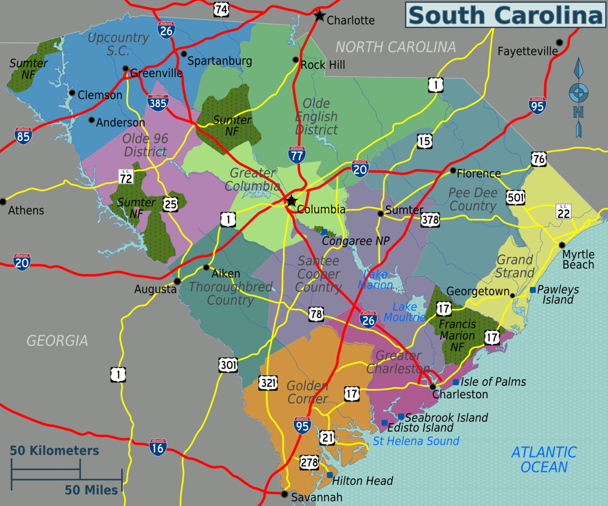
English: South Carolina regions map. SVG, South Carolina
|
| Dagur | |
| Kelda | :Image:South Carolina regions map.svg |
| Høvundur | Peter Fitzgerald |
Lisensur
This file is licensed under the Creative Commons Attribution 3.0 Unported license.
- Tú ert vælkomin til:
- at deila – at avrita, breiða út og senda verkið
- at remiksa – at tillaga ella broyta verkið
- Undir hesum treytum:
- ognan – Tú mást ognarskrivað verkið á ein slíkan hátt sum er útgreinaður av høvundanum ella lisenseigaranum (men ikki á nakran hátt ið kundi bent á at hesin hevur góðkent teg ella tína nýtslu av verkinum).
Original upload log
| This file was imported from Wikivoyage WTS. |
The original description page was here. All following user names refer to wts.wikivoyage-old.
- 2009-10-29 19:00 (WT-shared) Peterfitzgerald archive copy at the Wayback Machine 2000×1667 (1157264 bytes) {{Imagecredit|credit=Peter Fitzgerald|captureDate=29 October 2009|location=South Carolina|source=[[:Image:South Carolina regions map.svg]]|c (Import from wikitravel.org/shared)
Søgan hjá fíluni
Trýst á dato/tíð fyri at síggja fíluna, sum hon sá út tá.
| Dagur/Tíð | Lítil mynd | Dimensjónir | Brúkari | Viðmerking | |
|---|---|---|---|---|---|
| streymur | 18. nov 2012 kl. 02:46 | | 2.000 × 1.667 (1,1 MB) | MGA73bot2 | {{BotMoveToCommons|wts.oldwikivoyage|year={{subst:CURRENTYEAR}}|month={{subst:CURRENTMONTHNAME}}|day={{subst:CURRENTDAY}}}} == {{int:filedesc}} == {{Information |description=South Carolina regions map. SVG, South Carolina * Map of: South Carolina¤ |da... |
Myndarslóðir
Hesar síður slóða til hesa mynd:
Alheims fílunýtsla
Aðrar wkiir brúka hesa fílu:
- Nýtsla á de.wikipedia.org
- Nýtsla á en.wikivoyage.org
- Nýtsla á es.wikivoyage.org
- Nýtsla á he.wikivoyage.org
- Nýtsla á it.wikivoyage.org
- Nýtsla á pt.wikivoyage.org