
Mynd:Somerset UK relief location map.jpg

Stødd av hesi forskoðan: 800 × 505 pixels. Aðrar upploysnir: 320 × 202 pixels | 640 × 404 pixels | 1.024 × 647 pixels | 1.280 × 808 pixels | 2.019 × 1.275 pixels.
Upprunafíla (2.019 × 1.275 pixel, stødd fílu: 367 KB, MIME-slag: image/jpeg)
| Frágreiðing |
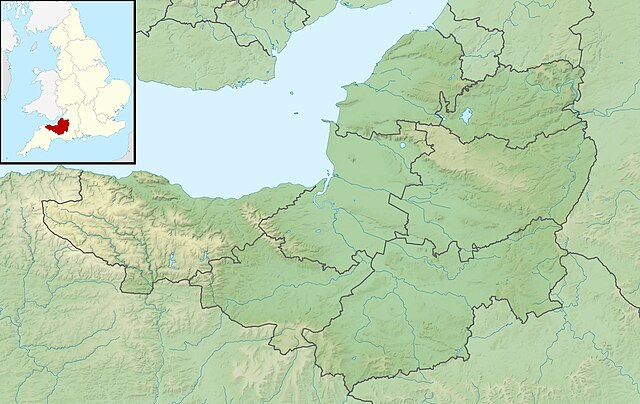
Relief map of Somerset, UK. Equirectangular map projection on WGS 84 datum, with N/S stretched 155% Geographic limits:
|
| Dagur | |
| Kelda |
|
| Høvundur | Nilfanion, created using Ordnance Survey data |
| Loyvi (Endurnýtsla av hesi fílu) |
Henda fíla er gjørd atkomulig undir Creative Commons Navngev-Deil á sama hátt 3.0 Unported loyvinum. Ognan: Contains Ordnance Survey data © Crown copyright and database right
|
| Other versions | File:Somerset UK district map (blank).svg - Blank map |
.svg)
Søgan hjá fíluni
Trýst á dato/tíð fyri at síggja fíluna, sum hon sá út tá.
| Dagur/Tíð | Lítil mynd | Dimensjónir | Brúkari | Viðmerking | |
|---|---|---|---|---|---|
| streymur | 29. nov 2011 kl. 01:53 | | 2.019 × 1.275 (367 KB) | Nilfanion | {{Information |Description=Relief map of Somerset, UK. Equirectangular map projection on WGS 84 datum, with N/S stretched 155% Geographic limits: *West: 3.96W *East: 2.12W *North: 51.55N *South: 50.80N |Source=[[w:Ordnance Survey|Ordnance |
Myndarslóðir
Hesar síður slóða til hesa mynd:
Alheims fílunýtsla
Aðrar wkiir brúka hesa fílu:
- Nýtsla á ar.wikipedia.org
- Nýtsla á arz.wikipedia.org
- Nýtsla á bg.wikipedia.org
- Nýtsla á bn.wikipedia.org
- Nýtsla á ceb.wikipedia.org
- Nýtsla á en.wikipedia.org
- Battle of Lansdowne
- River Tone
- Chew Valley Lake
- Hunstrete Lake
- Orchardleigh Lake
- Battle of Langport
- Cheddar Reservoir
- Blagdon Lake
- Litton Reservoirs
- Chew Magna Reservoir
- Emborough
- Wimbleball Lake
- Ashford Reservoir
- River Cam (Somerset)
- Clatworthy Reservoir
- Durleigh reservoir
- Buildings and architecture of Bath
- Ham Wall
- Knowle Hill
- Weston-super-Mare Lifeboat Station
- Chard Reservoir
- Hawkridge Reservoir
- Sutton Bingham Reservoir
- Otterhead Lakes
- Minehead Lifeboat Station
- Burnham-on-Sea Lifeboat Station
- Burnham Area Rescue Boat
- Brent Knoll
- Luxhay Reservoir
- Burnham & Berrow Golf Club
Vís meiri globala nýtslu av hesi fílu.