
Mynd:Location European Union.svg

Size of this PNG preview of this SVG file: 800 × 443 pixels. Aðrar upploysnir: 320 × 177 pixels | 640 × 354 pixels | 1.024 × 567 pixels | 1.280 × 709 pixels | 2.560 × 1.417 pixels | 999 × 553 pixels.
Upprunafíla (SVG fíle, nominelt 999 × 553 pixel, fíle stødd: 521 KB)
Samandráttur
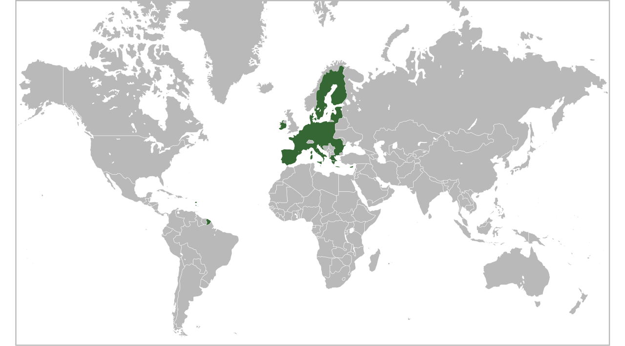
| Frágreiðing | Locator map for the European Union in 2013 |
| Dagur | |
| Kelda | English Wikipedia |
| Høvundur | Ssolbergj |
| Other versions | Derivative works of this file: EU27 as a single entity in the world.svg |
Lisensur
| Henda fíla er gjørd atkomulig undir Creative Commons Navngev-Deil á sama hátt 3.0 Unported loyvinum. Subject to disclaimers. | ||
| ||
| This licensing tag was added to this file as part of the GFDL licensing update. |

|
Loyvi verður givi at avrita, bera út og/ella broyta hetta skjal undir treytunum hjá GNU Free Documentation License, versión 1.2 ella einhvør seinni versjón ið er útgivin av Free Software Foundation; uttan nakað óbroytiligt brot, uttan forsíðutekst og uttan baksíðutekst. Eitt avrit av loyvinum er tikið við í brotinum ið nevnist GNU Free Documentation License. Subject to disclaimers. |
Søgan hjá fíluni
Trýst á dato/tíð fyri at síggja fíluna, sum hon sá út tá.
| Dagur/Tíð | Lítil mynd | Dimensjónir | Brúkari | Viðmerking | |
|---|---|---|---|---|---|
| streymur | 16. jul 2020 kl. 16:10 | | 999 × 553 (521 KB) | De728631 | added South Sudan |
| 1. feb 2020 kl. 01:29 |  | 999 × 553 (573 KB) | Janitoalevic | Brexit | |
| 30. jun 2013 kl. 04:26 |  | 999 × 553 (573 KB) | Spesh531 | croatia | |
| 5. feb 2012 kl. 13:14 |  | 999 × 553 (573 KB) | Oranž tõru | en:Hiiumaa island is just a natural part of Estonia | |
| 18. okt 2008 kl. 11:51 |  | 999 × 553 (573 KB) | Ssolbergj | What does that mean? | |
| 18. okt 2008 kl. 09:07 |  | 940 × 415 (1,48 MB) | SeNeKa~commonswiki | More correctly | |
| 3. okt 2008 kl. 21:24 |  | 999 × 553 (573 KB) | Ssolbergj | UNLESS YOU READ THE EDIT HISTORY AND WRITE EDIT SUMMARIES, REVERTING = VANDALISM | |
| 2. okt 2008 kl. 11:39 |  | 940 × 415 (1,48 MB) | SeNeKa~commonswiki | Reverted to version as of 04:36, 23 September 2008 | |
| 25. sep 2008 kl. 10:50 |  | 999 × 553 (573 KB) | Ssolbergj | Revert. Please read the edit history. | |
| 23. sep 2008 kl. 04:36 |  | 940 × 415 (1,48 MB) | Bože pravde~commonswiki | Reverted to version as of 12:16, 17 September 2008 |
Myndarslóðir
Hesar síður slóða til hesa mynd:
Alheims fílunýtsla
Aðrar wkiir brúka hesa fílu:
- Nýtsla á en.wikipedia.org
- Nýtsla á fr.wikinews.org
- Nýtsla á ig.wikipedia.org
- Nýtsla á it.wikinews.org
- Nýtsla á km.wikipedia.org
- Nýtsla á mk.wikipedia.org
- Nýtsla á pt.wikipedia.org
- Nýtsla á su.wikipedia.org
- Nýtsla á tr.wikinews.org
- Nýtsla á yo.wikipedia.org
- Àdàkọ:Hidden begin
- Àdàkọ:Clear
- Àdàkọ:Lower
- Àdàkọ:TOCright
- Àdàkọ:Template doc page transcluded
- Àdàkọ:Loop
- Àdàkọ:Tnavbar-collapsible
- Àdàkọ:Infobox website
- Àdàkọ:MONTHNAME
- Àdàkọ:MONTHNUMBER
- Àdàkọ:Min
- Àdàkọ:Infobox actor
- Àdàkọ:Navbox with columns
- Àdàkọ:Increase
- Àdàkọ:Profit
- Àdàkọ:Languageicon
- Àdàkọ:Nobold
- Àdàkọ:Noitalic
- Àdàkọ:Infobox Academic
- Àdàkọ:Nbsp
- Àdàkọ:Infobox Korean name
- Àdàkọ:Infobox German location
- Àdàkọ:Columns
- Àdàkọ:Scinote
- Àdàkọ:Navbox long
- Àdàkọ:Clear left
- Àdàkọ:Clearleft
- Àdàkọ:Clear right
Vís meiri globala nýtslu av hesi fílu.