
Mynd:Canada location map.svg

Size of this PNG preview of this SVG file: 706 × 599 pixels. Aðrar upploysnir: 283 × 240 pixels | 566 × 480 pixels | 905 × 768 pixels | 1.207 × 1.024 pixels | 2.413 × 2.048 pixels | 1.084 × 920 pixels.
Upprunafíla (SVG fíle, nominelt 1.084 × 920 pixel, fíle stødd: 155 KB)
Samandráttur
| Frágreiðing |
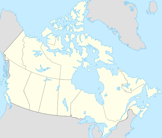
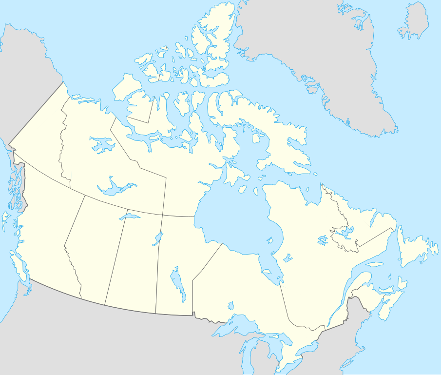
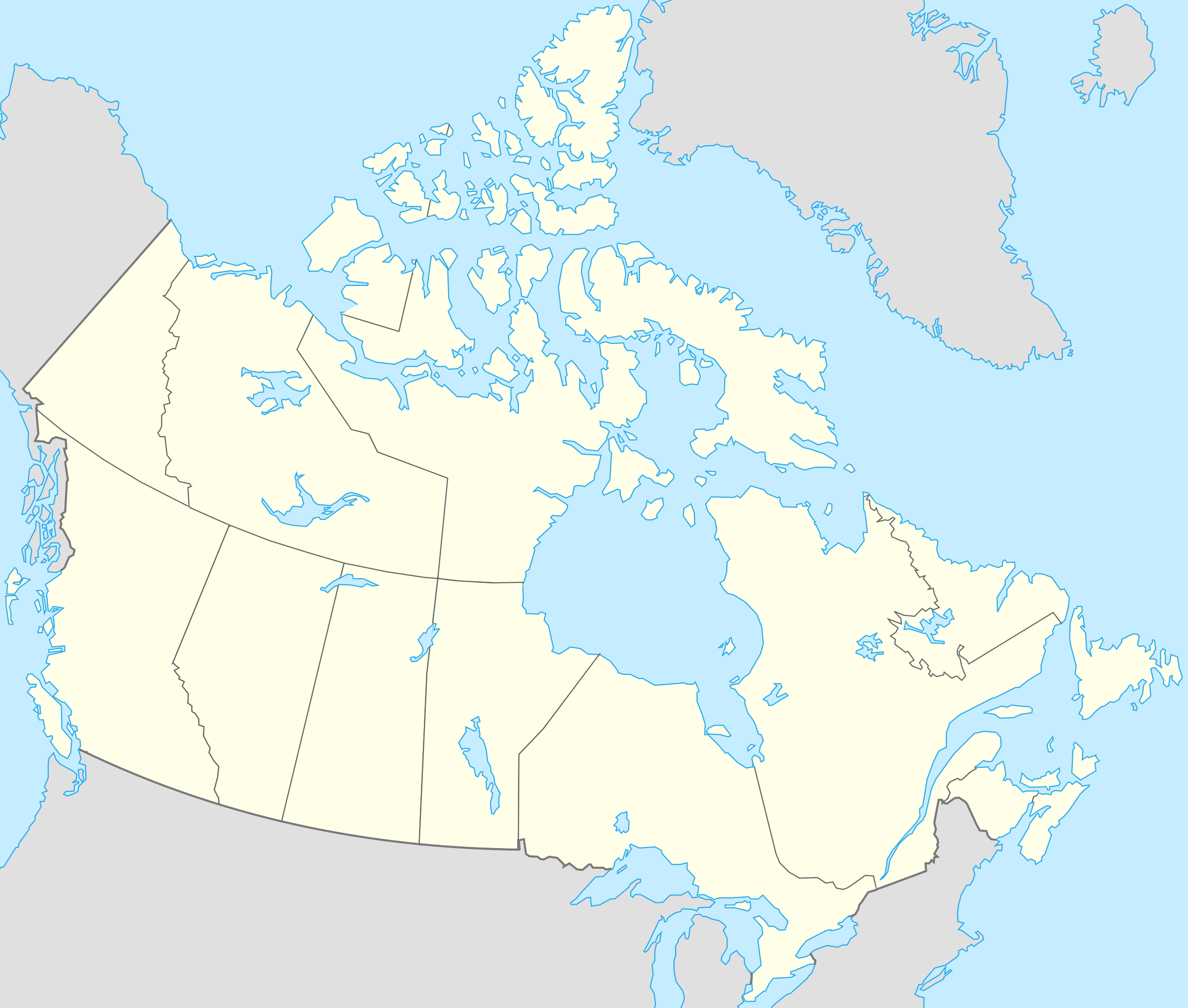
Français : Version recadrée et épurée de Carte administrative du Canada.svg pour la géolocation du Canada. Le cadrage est x=80px, y=166px, height=920, width=1084. Quelques positions :
English: cropped version of Carte administrative du Canada.svg for map location. |
|||||||||||||||||||||
| Dagur | ||||||||||||||||||||||
| Kelda | Canada (geolocalisation).svg by STyx | |||||||||||||||||||||
| Høvundur | Yug | |||||||||||||||||||||
| Other versions |
Derivative works of this file: |
|||||||||||||||||||||
| SVG genesis |
|


.svg)
.svg)
}}
I, the copyright holder of this work, hereby publish it under the following licenses:
This file is licensed under the Creative Commons Attribution-Share Alike 2.5 Generic, 2.0 Generic and 1.0 Generic license.
- Tú ert vælkomin til:
- at deila – at avrita, breiða út og senda verkið
- at remiksa – at tillaga ella broyta verkið
- Undir hesum treytum:
- ognan – Tú mást ognarskrivað verkið á ein slíkan hátt sum er útgreinaður av høvundanum ella lisenseigaranum (men ikki á nakran hátt ið kundi bent á at hesin hevur góðkent teg ella tína nýtslu av verkinum).
- deil undir somu treytum – Um tú broytir, evnar til ella byggir víðari á hetta verk, so kanst tú bert útgeva verkið undir somu ella líkandi lisensi sum hesin.

|
Loyvi verður givi at avrita, bera út og/ella broyta hetta skjal undir treytunum hjá GNU Free Documentation License, versión 1.2 ella einhvør seinni versjón ið er útgivin av Free Software Foundation; uttan nakað óbroytiligt brot, uttan forsíðutekst og uttan baksíðutekst. Eitt avrit av loyvinum er tikið við í brotinum ið nevnist GNU Free Documentation License. |
| Henda fíla er gjørd atkomulig undir Creative Commons Navngev-Deil á sama hátt 3.0 Unported loyvinum. | ||
| ||
| This licensing tag was added to this file as part of the GFDL licensing update. |
Tú kanst velja tann lisens ið tú ynskir.
Original upload log
This image is a derivative work of the following images:
- Canada (geolocalisation).svg licensed with Cc-by-sa-2.5,2.0,1.0, GFDL
- 2007-02-07T01:48:11Z STyx 1084x920 (95884 Bytes) retouche mineure
- 2007-02-07T01:41:09Z STyx 1084x920 (95939 Bytes) {{Information |Description= *{{fr}} Version recadrée et épurée de [[:Image:Carte administrative du Canada.svg]] pour la géolocation du Canada. Le cadrage est x=80px, y=166px, height=920, width=10
Uploaded with derivativeFX
Søgan hjá fíluni
Trýst á dato/tíð fyri at síggja fíluna, sum hon sá út tá.
| Dagur/Tíð | Lítil mynd | Dimensjónir | Brúkari | Viðmerking | |
|---|---|---|---|---|---|
| streymur | 17. apr 2021 kl. 19:27 | | 1.084 × 920 (155 KB) | Akeosnhaoe | draw in w:Killiniq Island as part of Nunavut and fix Smallwood Reservoir color |
| 16. apr 2021 kl. 18:24 |  | 1.084 × 920 (155 KB) | Akeosnhaoe | recreate previous 2 edits from the original to fix some borders on the water not being blue | |
| 26. jan 2014 kl. 16:13 |  | 1.084 × 920 (67 KB) | Ras67 | -frame | |
| 18. jul 2008 kl. 22:53 |  | 1.084 × 920 (113 KB) | Yug | {{Information |Description= |Source= |Date= |Author= |Permission= |other_versions= }} | |
| 17. jul 2008 kl. 22:18 |  | 1.084 × 920 (155 KB) | Yug | {{Information |Description=*{{fr}} Version recadrée et épurée de Image:Carte administrative du Canada.svg pour la géolocation du Canada. Le cadrage est x=80px, y=166px, height=920, width=1084. Quelques positions : <center><table style="border:1px |
Myndarslóðir
Hesar síður slóða til hesa mynd:
Alheims fílunýtsla
Aðrar wkiir brúka hesa fílu:
- Nýtsla á af.wikipedia.org
- Nýtsla á als.wikipedia.org
- Nýtsla á an.wikipedia.org
- Nýtsla á ar.wikipedia.org
- Nýtsla á arz.wikipedia.org
- Nýtsla á ast.wikipedia.org
- Gran Premiu de Canadá de 2007
- Gran Premiu de Canadá de 2006
- Gran Premiu de Canadá de 2008
- Montes Rocosos
- Windsor (Ontario)
- Ontario
- Islla del Cabu Bretón
- Nueva Escocia
- Islla Valdés
- Alberta
- Nueva Brunswick
- Nunavut
- Islla Killiniq
- Aeropuertu de Powell River
- London (Ontario)
- Toronto
- York University
- Alert
Vís meiri globala nýtslu av hesi fílu.