
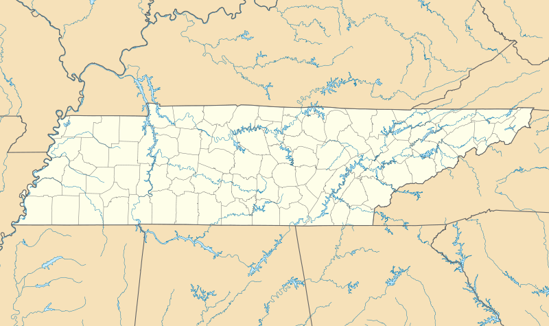
Mynd:USA Tennessee location map.svg

Size of this PNG preview of this SVG file: 800 × 475 pixels. Aðrar upploysnir: 320 × 190 pixels | 640 × 380 pixels | 1.024 × 608 pixels | 1.280 × 759 pixels | 2.560 × 1.519 pixels | 1.800 × 1.068 pixels.
Upprunafíla (SVG fíle, nominelt 1.800 × 1.068 pixel, fíle stødd: 1,16 MB)
Samandráttur
| Frágreiðing |
Quadratische Plattkarte, N-S-Streckung 120.0 %. Geographische Begrenzung der Karte:
Equirectangular projection, N/S stretching 120.0 %. Geographic limits of the map:
|
| Dagur | |
| Kelda | Egið verk |
| Høvundur | Alexrk |
| Other versions |
Derivative works of this file: BMO Harris Bank 2012-06.png Derivative works of this file: |

|
This map has been made or improved in the German Kartenwerkstatt (Map Lab). You can propose maps to improve as well.
|
Lisensur
I, the copyright holder of this work, hereby publish it under the following licenses:

|
Loyvi verður givi at avrita, bera út og/ella broyta hetta skjal undir treytunum hjá GNU Free Documentation License, versión 1.2 ella einhvør seinni versjón ið er útgivin av Free Software Foundation; uttan nakað óbroytiligt brot, uttan forsíðutekst og uttan baksíðutekst. Eitt avrit av loyvinum er tikið við í brotinum ið nevnist GNU Free Documentation License. |
This file is licensed under the Creative Commons Attribution 3.0 Unported license.
- Tú ert vælkomin til:
- at deila – at avrita, breiða út og senda verkið
- at remiksa – at tillaga ella broyta verkið
- Undir hesum treytum:
- ognan – Tú mást ognarskrivað verkið á ein slíkan hátt sum er útgreinaður av høvundanum ella lisenseigaranum (men ikki á nakran hátt ið kundi bent á at hesin hevur góðkent teg ella tína nýtslu av verkinum).
Tú kanst velja tann lisens ið tú ynskir.
Søgan hjá fíluni
Trýst á dato/tíð fyri at síggja fíluna, sum hon sá út tá.
| Dagur/Tíð | Lítil mynd | Dimensjónir | Brúkari | Viðmerking | |
|---|---|---|---|---|---|
| streymur | 20. jun 2009 kl. 10:17 | | 1.800 × 1.068 (1,16 MB) | Alexrk2 | page ratio, water bodies |
| 13. jun 2009 kl. 16:00 | 1.500 × 415 (246 KB) | Alexrk | == Beschreibung == {{Information |Description= {{de|Positionskarte von Tennessee, USA}} Quadratische Plattkarte, N-S-Streckung 120.0 %. Geographische Begrenzung der Karte: * N: 36.9° N * S: 34.8° N * W: 90.5° W * O: 81.4° |
Myndarslóðir
Hesar síður slóða til hesa mynd:
Alheims fílunýtsla
Aðrar wkiir brúka hesa fílu:
- Nýtsla á af.wikipedia.org
- Nýtsla á an.wikipedia.org
- Nýtsla á ar.wikipedia.org
- Nýtsla á azb.wikipedia.org
- آرکیدیا، تنسی
- کازبی، تنسی
- داردن، تنسی
- ترید، تنسی
- دل ریو، تنسی
- لنکستر، تنسی
- اپلتن، تنسی
- الموود، تنسی
- الندیل، تنسی
- باتلر، تنسی
- برانزویک، تنسی
- بلفاست، تنسی
- بوئنا ویستا، تنسی
- بیق راک، تنسی
- بیکرویل، تنسی
- بیکول، تنسی
- چستنات هیل، تنسی
- دراموندز، تنسی
- فراترویل، تنسی
- فروتویل، تنسی
- فری هیل، تنسی
- کاریتون، تنسی
- کراکت میلز، تنسی
- کونکورد، تنسی
- نیملس، تنسی
- هابرشام، تنسی
- هالز، کراسرود، تنسی
- همپتون، تنسی
- هیلتاون، تنسی
- یام یام، تنسی
- قریمزلی، تنسی
- ویرز ولی، تنسی
- بلکمن، تنسی
- آفتون، تنسی
- سویت لیپس، تنسی
- مورفرزبورو، تنسی
- تافت، تنسی
- آلدر برانچ، تنسی
- تالبوت، تنسی
- تالاسی، تنسی
- کوتونتوون، تنسی
- آلکساندریا، تنسی
- والکرتوون، تنسی
- والاند، تنسی
- والینق، تنسی
Vís meiri globala nýtslu av hesi fílu.