
Mynd:USA Michigan location map.svg

Size of this PNG preview of this SVG file: 533 × 600 pixels. Aðrar upploysnir: 213 × 240 pixels | 426 × 480 pixels | 682 × 768 pixels | 910 × 1.024 pixels | 1.819 × 2.048 pixels | 1.066 × 1.200 pixels.
Upprunafíla (SVG fíle, nominelt 1.066 × 1.200 pixel, fíle stødd: 642 KB)
Samandráttur
| Frágreiðing |
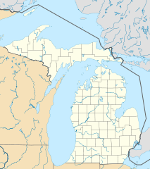
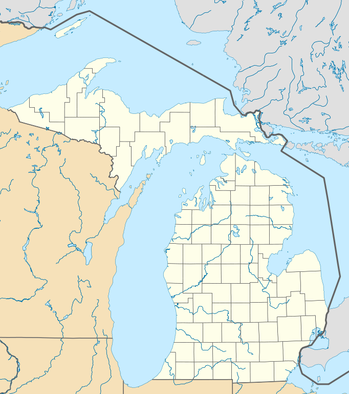
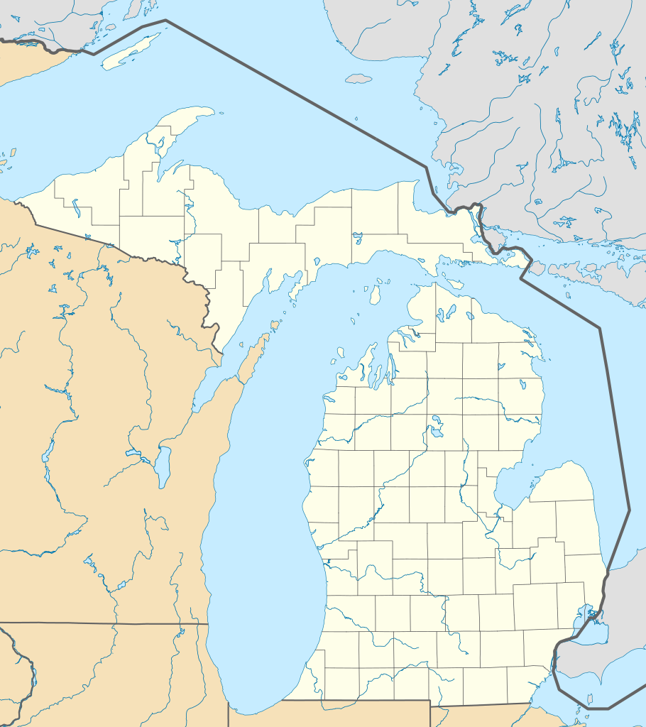
Quadratische Plattkarte, N-S-Streckung 140.0 %. Geographische Begrenzung der Karte:
Equirectangular projection, N/S stretching 140.0 %. Geographic limits of the map:
|
| Dagur | |
| Kelda | Egið verk |
| Høvundur | Alexrk2 |
| Other versions |
Derivative works of this file: BMO Harris Bank 2012-06.png Derivative works of this file: |

|
This map has been made or improved in the German Kartenwerkstatt (Map Lab). You can propose maps to improve as well.
|
Lisensur
I, the copyright holder of this work, hereby publish it under the following licenses:

|
Loyvi verður givi at avrita, bera út og/ella broyta hetta skjal undir treytunum hjá GNU Free Documentation License, versión 1.2 ella einhvør seinni versjón ið er útgivin av Free Software Foundation; uttan nakað óbroytiligt brot, uttan forsíðutekst og uttan baksíðutekst. Eitt avrit av loyvinum er tikið við í brotinum ið nevnist GNU Free Documentation License. |
This file is licensed under the Creative Commons Attribution 3.0 Unported license.
- Tú ert vælkomin til:
- at deila – at avrita, breiða út og senda verkið
- at remiksa – at tillaga ella broyta verkið
- Undir hesum treytum:
- ognan – Tú mást ognarskrivað verkið á ein slíkan hátt sum er útgreinaður av høvundanum ella lisenseigaranum (men ikki á nakran hátt ið kundi bent á at hesin hevur góðkent teg ella tína nýtslu av verkinum).
Tú kanst velja tann lisens ið tú ynskir.
Søgan hjá fíluni
Trýst á dato/tíð fyri at síggja fíluna, sum hon sá út tá.
| Dagur/Tíð | Lítil mynd | Dimensjónir | Brúkari | Viðmerking | |
|---|---|---|---|---|---|
| streymur | 21. jun 2009 kl. 16:41 | | 1.066 × 1.200 (642 KB) | Alexrk2 | Isle Royale |
| 21. jun 2009 kl. 11:39 |  | 1.066 × 1.200 (652 KB) | Alexrk2 | fixed borders | |
| 21. jun 2009 kl. 11:30 |  | 1.066 × 1.200 (660 KB) | Alexrk2 | water lines | |
| 21. jun 2009 kl. 11:21 |  | 1.066 × 1.200 (721 KB) | Alexrk2 | water lines | |
| 21. jun 2009 kl. 11:02 |  | 1.066 × 1.200 (830 KB) | Alexrk2 | simp water polygons | |
| 21. jun 2009 kl. 10:51 |  | 1.066 × 1.200 (840 KB) | Alexrk2 | == Beschreibung == {{Information |Description= {{de|Positionskarte von Michigan, USA}} Quadratische Plattkarte, N-S-Streckung 140.0 %. Geographische Begrenzung der Karte: * N: 48.5° N * S: 41.5° N * W: 90.6° W * O: 81.9° W |
Myndarslóðir
Hesar síður slóða til hesa mynd:
Alheims fílunýtsla
Aðrar wkiir brúka hesa fílu:
- Nýtsla á an.wikipedia.org
- Nýtsla á ar.wikipedia.org
- Nýtsla á arz.wikipedia.org
- Nýtsla á azb.wikipedia.org
- لنسینق، میشیقان
- هستینقز، میشیقان
- ان آربر، میشیقان
- سقینو، میشیقان
- دیربورن، میشیقان
- کلاوسون، میشیقان
- مارلت، میشیقان
- پینکنینق، میشیقان
- فریس تانشیپ، میشیقان
- بلویدیر تاونشیپ، میشیقان
- لاود تاونشیپ، میشیقان
- پرودنویل، میشیقان
- پیلقریم، میشیقان
- رابین قلن-ایندیانتاون، میشیقان
- مارنیسکو، میشیقان
- فرویو، میشیقان
- بارنز لیک-میلرز لیک، میشیقان
- هیکوری کورنرز، میشیقان
- پی پورت، میشیقان
- نوروود، میشیقان
- لیک ویکتوریا، میشیقان
- سینت جیمز، میشیقان
- بندون، میشیقان
- ایستپورت، میشیقان
- آیرونتون، میشیقان
- برودا تاونشیپ، میشیقان
- لیکس آو د نورت، میشیقان
- پردایس، میشیقان
- کرسکو، میشیقان
- اومنا، میشیقان
- هیقینز لیک، میشیقان
- بروس کراسینق، میشیقان
- فیتهورن، میشیقان
- زیبا، میشیقان
- وایت پاین، میشیقان
- منیستی لیک، میشیقان
- اسنوور، میشیقان
- جاسپر، میشیقان
- بردرن، میشیقان
Vís meiri globala nýtslu av hesi fílu.