
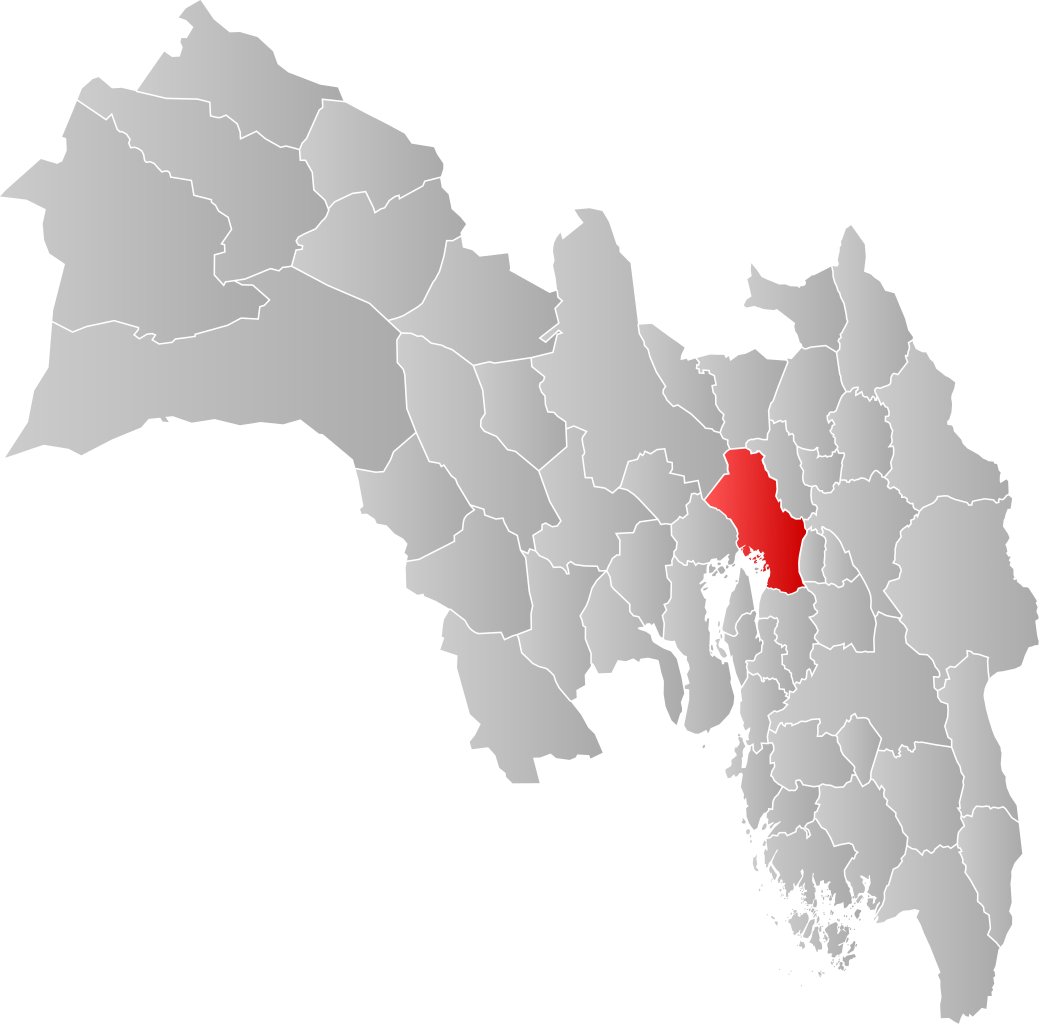
Mynd:NO 0301 Oslo.svg

Size of this PNG preview of this SVG file: 608 × 599 pixels. Aðrar upploysnir: 243 × 240 pixels | 487 × 480 pixels | 779 × 768 pixels | 1.039 × 1.024 pixels | 2.077 × 2.048 pixels | 998 × 984 pixels.
Upprunafíla (SVG fíle, nominelt 998 × 984 pixel, fíle stødd: 138 KB)
| Frágreiðing | |||
| Dagur | |||
| Kelda | Egið verk | ||
| Høvundur | Jon Harald Søby | ||
| Loyvi (Endurnýtsla av hesi fílu) |
|
||
| SVG genesis |
Søgan hjá fíluni
Trýst á dato/tíð fyri at síggja fíluna, sum hon sá út tá.
| Dagur/Tíð | Lítil mynd | Dimensjónir | Brúkari | Viðmerking | |
|---|---|---|---|---|---|
| streymur | 4. feb 2020 kl. 03:28 | | 998 × 984 (138 KB) | Jay1279 | update after county merger to show Oslo inside Viken County |
| 21. jan 2007 kl. 20:42 |  | 744 × 1.052 (62 KB) | Jon Harald Søby | {{User:Jon Harald Søby/Kartlisens|Oslo|Akershus}} |
Myndarslóðir
Hesar síður slóða til hesa mynd:
Alheims fílunýtsla
Aðrar wkiir brúka hesa fílu:
- Nýtsla á af.wikipedia.org
- Nýtsla á ar.wikipedia.org
- Nýtsla á bpy.wikipedia.org
- Nýtsla á bs.wikipedia.org
- Nýtsla á ca.wikipedia.org
- Nýtsla á ceb.wikipedia.org
- Nýtsla á da.wikipedia.org
- Nýtsla á de.wikipedia.org
- Nýtsla á en.wikipedia.org
- Nýtsla á es.wikipedia.org
- Nýtsla á fa.wikipedia.org
- Nýtsla á fr.wikipedia.org
- Nýtsla á gd.wikipedia.org
- Nýtsla á hu.wikipedia.org
- Nýtsla á hy.wikipedia.org
- Nýtsla á id.wikipedia.org
- Nýtsla á incubator.wikimedia.org
- Nýtsla á it.wikipedia.org
- Nýtsla á ja.wikipedia.org
- Nýtsla á lij.wikipedia.org
- Nýtsla á nds.wikipedia.org
- Nýtsla á ne.wikipedia.org
- Nýtsla á nl.wikipedia.org
- Nýtsla á nn.wikipedia.org
- Nýtsla á nov.wikipedia.org
- Nýtsla á no.wikipedia.org
- Nýtsla á oc.wikipedia.org
- Nýtsla á pcd.wikipedia.org
- Nýtsla á pnb.wikipedia.org
- Nýtsla á pt.wikipedia.org
- Nýtsla á ro.wikipedia.org
- Nýtsla á ru.wikipedia.org
- Nýtsla á smn.wikipedia.org
- Nýtsla á sq.wikipedia.org
- Nýtsla á th.wikipedia.org
- Nýtsla á ts.wikipedia.org
Vís meiri globala nýtslu av hesi fílu.