
Mynd:Location Togo AU Africa.svg

Size of this PNG preview of this SVG file: 646 × 600 pixels. Aðrar upploysnir: 258 × 240 pixels | 517 × 480 pixels | 827 × 768 pixels | 1.103 × 1.024 pixels | 2.206 × 2.048 pixels | 1.400 × 1.300 pixels.
Upprunafíla (SVG fíle, nominelt 1.400 × 1.300 pixel, fíle stødd: 2,17 MB)
Samandráttur
| Frágreiðing |
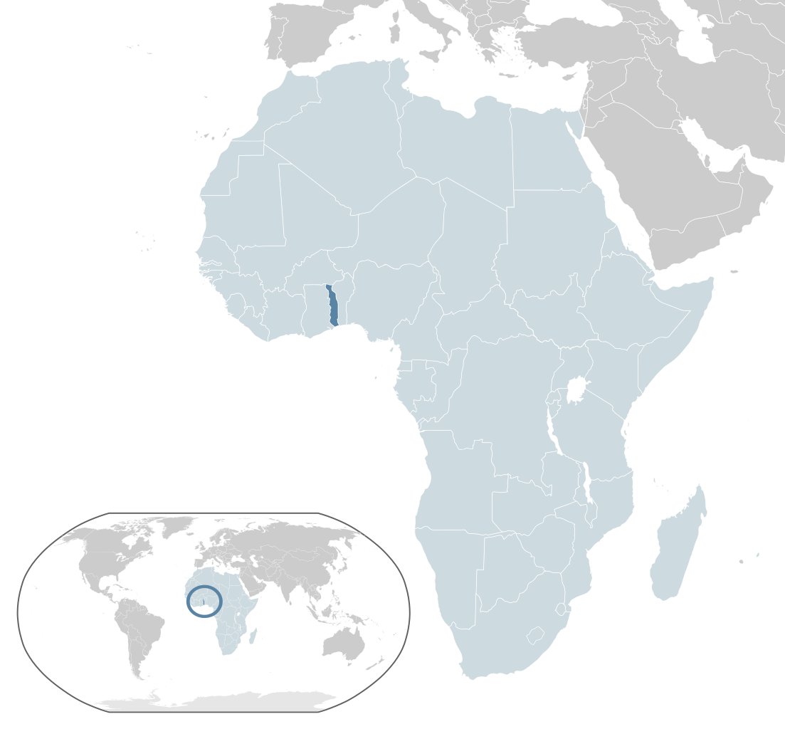
English: Map of Togo
Español: Mapa de Togo |
| Dagur | |
| Kelda | Egið verk |
| Høvundur | Alvaro1984 18 |
Lisensur
| I, the copyright holder of this work, release this work into the public domain. This applies worldwide. In some countries this may not be legally possible; if so: I grant anyone the right to use this work for any purpose, without any conditions, unless such conditions are required by law. |
Søgan hjá fíluni
Trýst á dato/tíð fyri at síggja fíluna, sum hon sá út tá.
| Dagur/Tíð | Lítil mynd | Dimensjónir | Brúkari | Viðmerking | |
|---|---|---|---|---|---|
| streymur | 17. feb 2017 kl. 05:28 | | 1.400 × 1.300 (2,17 MB) | Chipmunkdavis | Updating Morocco |
| 31. jul 2013 kl. 22:18 |  | 1.400 × 1.300 (2,17 MB) | Flappiefh | Fixed some displaced countries. | |
| 31. jul 2013 kl. 22:15 |  | 1.400 × 1.300 (2,17 MB) | Flappiefh | Added South Sudan. Fixed color of Lybia. | |
| 30. jul 2009 kl. 10:39 |  | 1.400 × 1.300 (2,17 MB) | Alvaro1984 18 | {{Information |Description={{en|1=Map of Togo}} {{es|1=Mapa de Togo}} |Source=trabajo propio (own work) |Author=Alvaro1984 18 |Date=30/07/2009 |Permission= |other_versions= }} Category:Location maps of Africa Category:Togo |
Myndarslóðir
Hesar síður slóða til hesa mynd:
Alheims fílunýtsla
Aðrar wkiir brúka hesa fílu:
- Nýtsla á ady.wikipedia.org
- Nýtsla á af.wikipedia.org
- Nýtsla á ami.wikipedia.org
- Nýtsla á ar.wikipedia.org
- Nýtsla á avk.wikipedia.org
- Nýtsla á azb.wikipedia.org
- Nýtsla á az.wikipedia.org
- Nýtsla á ban.wikipedia.org
- Nýtsla á bcl.wikipedia.org
- Nýtsla á be.wikipedia.org
- Nýtsla á bg.wikipedia.org
- Nýtsla á bh.wikipedia.org
- Nýtsla á bi.wikipedia.org
- Nýtsla á bn.wikipedia.org
- Nýtsla á ca.wikipedia.org
- Nýtsla á cdo.wikipedia.org
- Nýtsla á chr.wikipedia.org
- Nýtsla á co.wikipedia.org
- Nýtsla á cs.wikipedia.org
- Nýtsla á el.wikipedia.org
- Nýtsla á en.wikipedia.org
- Togo
- History of Togo
- List of sovereign states and dependent territories in Africa
- Telephone numbers in Togo
- LGBT rights in Togo
- User:Islahaddow/sandbox
- 1963 Togolese coup d'état
- Wikipedia:Graphics Lab/Map workshop/Archive/Aug 2013
- List of companies of Togo
- List of conflicts in Togo
- 1967 Togolese coup d'état
- 1986 Togolese coup attempt
- Nýtsla á eo.wikipedia.org
- Nýtsla á eo.wiktionary.org
- Nýtsla á es.wikipedia.org
- Nýtsla á fa.wikipedia.org
- Nýtsla á fi.wikipedia.org
- Nýtsla á fon.wikipedia.org
- Nýtsla á fr.wikipedia.org
Vís meiri globala nýtslu av hesi fílu.