
Mynd:Kampala District Uganda.png

Stødd av hesi forskoðan: 528 × 600 pixels. Aðrar upploysnir: 211 × 240 pixels | 422 × 480 pixels | 661 × 751 pixels.
Upprunafíla (661 × 751 pixel, stødd fílu: 31 KB, MIME-slag: image/png)
| Frágreiðing |
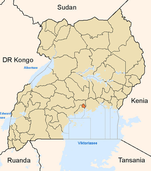
English: Map showing the position of the district Kampala in Uganda.
Deutsch: Karte, die die Position des Distriktes Kampala in Uganda anzeigt.
Plattdüütsch: Koort, de de Positschoon vun’n Distrikt Kampala in Uganda wiest. |
||
| Kelda | Egið verk | ||
| Høvundur | |||
| Loyvi (Endurnýtsla av hesi fílu) |
|
Søgan hjá fíluni
Trýst á dato/tíð fyri at síggja fíluna, sum hon sá út tá.
| Dagur/Tíð | Lítil mynd | Dimensjónir | Brúkari | Viðmerking | |
|---|---|---|---|---|---|
| streymur | 8. jun 2005 kl. 17:03 | | 661 × 751 (31 KB) | Slomox | Map showing the position of the district Kampala in Uganda. {{GFDL}} Category:Maps of Ugandan districts |
Myndarslóðir
Hesar síður slóða til hesa mynd:
Alheims fílunýtsla
Aðrar wkiir brúka hesa fílu:
- Nýtsla á ar.wikipedia.org
- Nýtsla á ceb.wikipedia.org
- Nýtsla á en.wikipedia.org
- Nýtsla á fa.wikipedia.org
- Nýtsla á fi.wikipedia.org
- Nýtsla á fr.wikinews.org
- Nýtsla á gl.wikipedia.org
- Nýtsla á ha.wikipedia.org
- Nýtsla á ig.wikipedia.org
- Nýtsla á is.wikipedia.org
- Nýtsla á ja.wikipedia.org
- Nýtsla á ko.wikipedia.org
- Nýtsla á mi.wikipedia.org
- Nýtsla á nds.wikipedia.org
- Nýtsla á oc.wikipedia.org
- Nýtsla á pl.wiktionary.org
- Nýtsla á ps.wikipedia.org
- Nýtsla á pt.wikipedia.org
- Nýtsla á qu.wikipedia.org
- Nýtsla á sw.wikipedia.org
- Nýtsla á ts.wikipedia.org
- Nýtsla á ur.wikipedia.org
- Nýtsla á vo.wikipedia.org
- Nýtsla á www.wikidata.org
- Nýtsla á yo.wikipedia.org
- Nýtsla á zh.wikipedia.org
- Nýtsla á zu.wikipedia.org