
Mynd:AngleseyConstituency.svg

Size of this PNG preview of this SVG file: 200 × 240 pixels. Aðrar upploysnir: 400 × 480 pixels | 640 × 768 pixels | 853 × 1.024 pixels | 1.707 × 2.048 pixels.
Upprunafíla (SVG fíle, nominelt 200 × 240 pixel, fíle stødd: 293 KB)
Samandráttur
| Frágreiðing |
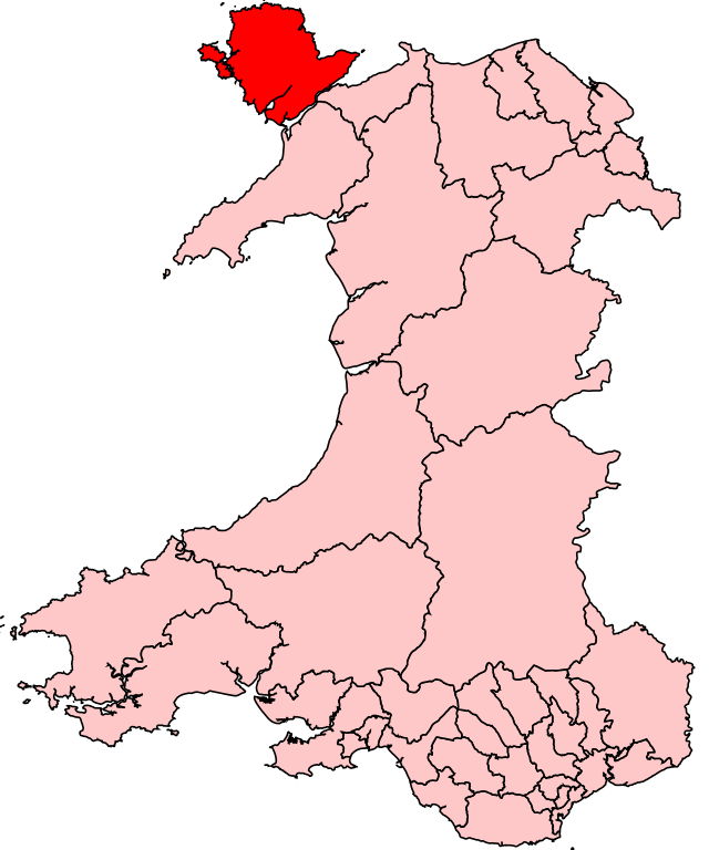
English: Map of the UK Parliament constituency of Ynys Môn within Wales. |
| Kelda | Egið verk |
| Høvundur | Wereon |
Lisensur
| I, the copyright holder of this work, release this work into the public domain. This applies worldwide. In some countries this may not be legally possible; if so: I grant anyone the right to use this work for any purpose, without any conditions, unless such conditions are required by law. |
Søgan hjá fíluni
Trýst á dato/tíð fyri at síggja fíluna, sum hon sá út tá.
| Dagur/Tíð | Lítil mynd | Dimensjónir | Brúkari | Viðmerking | |
|---|---|---|---|---|---|
| streymur | 8. apr 2007 kl. 19:22 | | 200 × 240 (293 KB) | Wereon | Map of the UK Parliament constituency of Ynys Môn within Wales. Category:Maps of Parliamentary constituencies in Wales |
Myndarslóðir
Ongar síður slóða til hesa myndina.
Alheims fílunýtsla
Aðrar wkiir brúka hesa fílu:
- Nýtsla á pl.wikipedia.org